
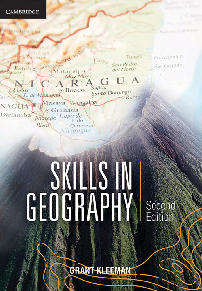
Skills in Geography Australian Curriculum - Second Edition: Print & Digital
$66.95
| Buy in bulk & save! | |
|---|---|
| Buy 1 to 4: | $66.95 each |
| Buy 5 to 9: | $65.30 each |
| Buy 10 or more: | $63.60 each |

Available on orders $80 to $1000
Learn more

Available on orders $80 to $1000
Learn more
Skills in Geography: Australian Curriculum introduces and develops the fundamental geography skills students should master to succeed in Australian Curriculum Geography.

Still the most effective tool for teaching geography skills.
With 18 brand new topographic maps and fresh accompanying activities, this second edition of Skills in Geography offers the most up-to-date and student-focused skills-based resource available.
- Forty-eight large topographic map extracts from Australia and around the globe - 30% of which are new for this edition - offer fresh and relevant local and international opportunities for mastering fundamental geography skills.
- A restructured thematic section covering Australian and international content reflects the way geography is taught in today’s classroom.
- All graphs, statistics and tables use current data, ensuring students have access to the most up-to-date information available.
- New areas of significance explore topics including Barangaroo: Enhancing livability (a study in place and liveability) and an examination of atmospheric hazards (in the context of water and the world).
- Extensive information on the latest technology utilised in the field covers areas such as Google maps, the use of drones, GPS, and satellite-mounted sensors.
Contents
Section 1: Key skills in geography
- 1.1 Maps
- 1.2 Scale
- 1.3 Locating places
- 1.4 Direction, bearings and quadrants
- 1.5 Relief
- 1.6 Digital maps
- 1.7 Interpreting topographic maps
- 1.8 Photographs
- 1.9 Field sketches, line drawings and sketch maps
- 1.10 Climate graphs and weather maps
- 1.11 Graphs
- 1.12 Specialist maps
Section 2: Key themes in geography
- 2.1 Landscapes and landforms
- 2.2 Place and liveability
- 2.3 Water and the world
- 2.4 Interconnections
- 2.5 Sustainable biomes
- 2.6 Changing places
- 2.7 Environmental change and management
- 2.8 Human wellbeing
Section 3: Australia
- 3.1 Australia
- 3.2 Canberra (ACT) topographic map extract
- 3.3 Eden (NSW) topographic map extract
- 3.4 Kosciuszko (NSW) topographic map extract
- 3.5 Camden Haven (NSW) topographic map extract
- 3.6 Laurieton (NSW) topographic map extract
- 3.7 Wallis Lake (NSW) topographic map extract
- 3.8 South West Rocks (NSW) topographic map extract
- 3.9 Coffs Harbour (NSW) topographic map extract
- 3.10 Anglesea (Vic.) topographic map extract
- 3.11 Grampians (Vic.) topographic map extract
- 3.12 Lake Pedder (Tas.) topographic map extract
- 3.13 Cradle Mountain (Tas.) topographic map extract
- 3.14 Lake St Clair (Tas.) topographic map extract
- 3.15 Coles Bay (Tas.) topographic map extract
- 3.16 Port Arthur (Tas.) topographic map extracts
- 3.17 Barossa (SA) topographic map extract
- 3.18 Albany (WA) topographic map extract
- 3.19 Port Hedland (WA) topographic map extract
- 3.20 Daintree (Qld) topographic map extract
- 3.21 Noosa Heads (Qld) topographic map extract
- 3.22 Cairns (Qld) topographic map extract
- 3.23 Uluru (NT) topographic map extract
- 3.24 Gallipoli (Turkey) topographic map extract
Section 4: New Zealand
- 4.1 New Zealand
- 4.2 Russell topographic map extract
- 4.3 Lake Tekapo topographic map extract
- 4.4 Lake Coleridge topographic map extract
- 4.5 Queenstown topographic map extract
- 4.6 Milford Sound topographic map extract
- 4.7 Fox Glacier topographic map extract
- 4.8 Mt Ruapehu topographic map extract
- 4.9 Mt Taranaki topographic map extract
Section 5: South America
- 5.1 South America
- 5.2 Cuzco, Peru, topographic map extract
- 5.3 Machu Picchu, Peru topographic map extract
- 5.4 Cordillera Huayhuash, Peru, topographic map extract
- 5.5 Peru: using satellite photographs
Section 6: United Kingdom
- 6.1 United Kingdom
- 6.2 Windsor Castle and West London topographic map extract
- 6.3 Dartmouth topographic map extract
- 6.4 West Cumbria topographic map extract
- 6.5 Ennerdale Water topographic map extract
- 6.6 Fort William topographic map extract
- 6.7 Loch a Cairn topographic map extract
- 6.8 Enard Bay topographic map extract
- 6.9 Langholm topographic map extract
Section 7: North America
- 7.1 North America
- 7.2 Vancouver,Canada topographic map extract
- 7.3 Bowen Island, Canada topographic map extract
- 7.4 Nanaimo, Canada topographic map extract
- 7.5 Whistler, Canada topographic map extract
- 7.6 Banff, Canada topographic map extract
- 7.7 Niagara Falls, Canada topographic map extract
- 7.8 Yosemite, United States topographic map extract
- 7.9 Canadian map Legends
| ISBN | 9781108264785 |
| Publisher | Cambridge University Press |
| Product Type | Student Books, |
| Year Level | Year 7, Year 8, Year 9, Year 10, |
| Author(s) | Grant Kleeman |
Be The First To Review This Product!
Help other Teacher Superstore users shop smarter by writing reviews for products you have purchased.


